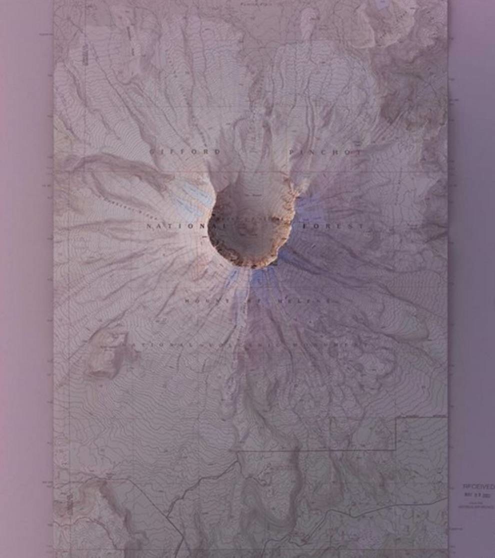
2 in 1: historical maps and modern aerial photographs

Photo © birdinflight.com
Designer Scott Reinhard from Brooklyn combines old topographic maps and modern pictures taken from a bird's eye view to get a three-dimensional image of the territory.
He uses data from the US Geological Survey to create hybrid maps. Such images allow Reinhard to better understand the mapping methods over large areas without aerial photography.
According to the designer, visualizing the history of landscape formation, he may notice certain trends in it.
“I was intrigued by the ability to create images that help get a visual representation of the terrain. I collect and process a huge amount of information that is freely available and create beautiful images,” says the designer.
Photo © birdinflight.com

Photo © birdinflight.com
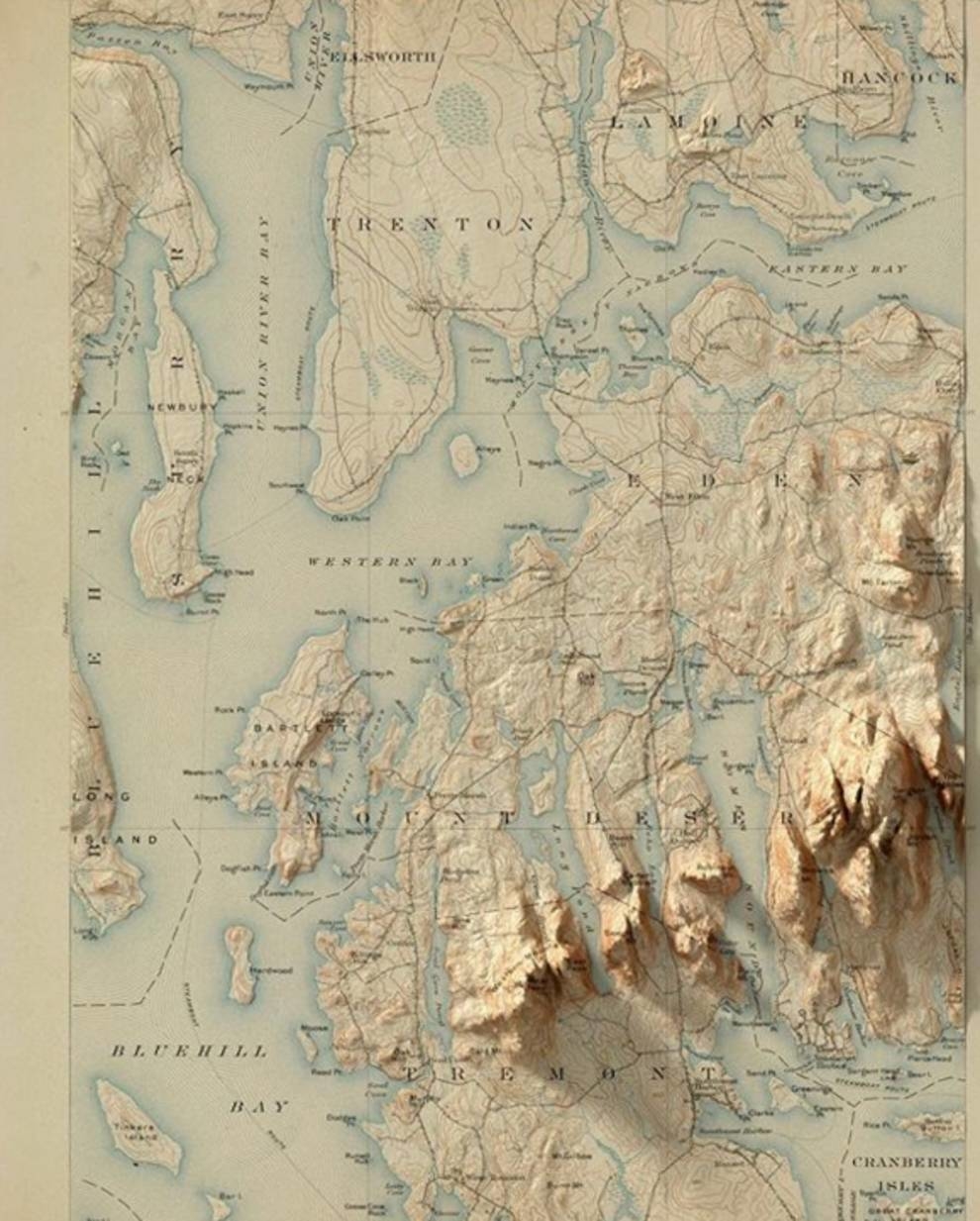
Photo © birdinflight.com
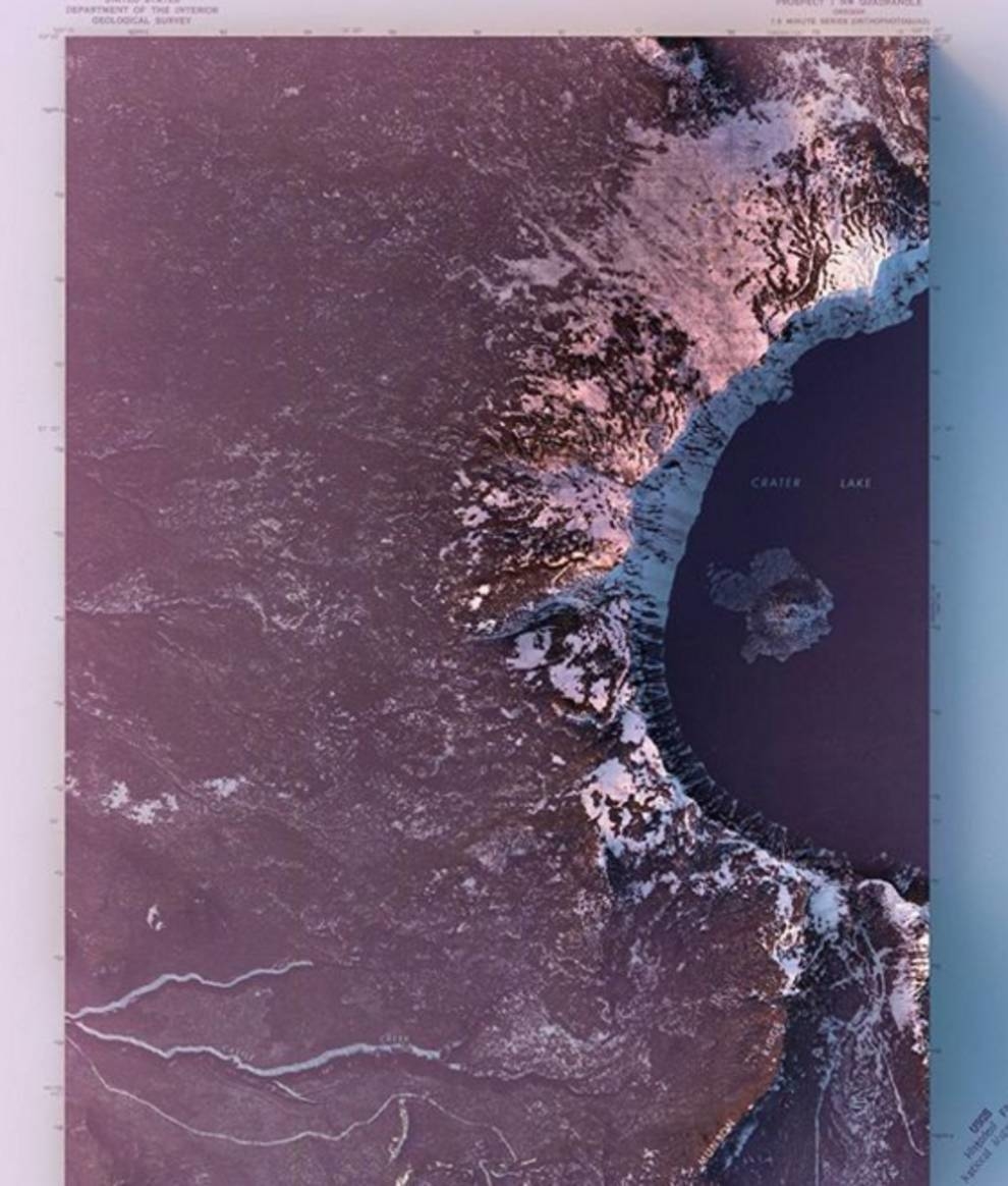
Photo © birdinflight.com