Marine archaeologists have created a map of sunken ships near Iceland
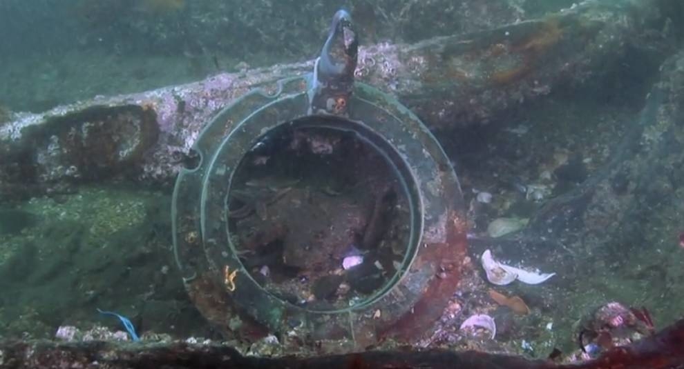
Icelandic archaeologist Ragnar Edvardsson together with colleagues made a map, which marked the places of major shipwrecks that occurred near Iceland from the XIII century. The authors of the project had a lot of written sources to create a map, because the Icelanders for many centuries recorded the damage caused by the loss of ships. During the analysis of the documents, archaeologists rechecked the information, diving into the specified places. Today, Edwardsson's team managed to note the location of 400 Icelandic, English, Danish and other vessels that went under water from 1200 to 1920. At least 600 more such detections lie ahead. Many ships are found near the shores of the village Eyrarbakki. Today it is home to 570 people, but many years ago this settlement was a major port of Iceland.

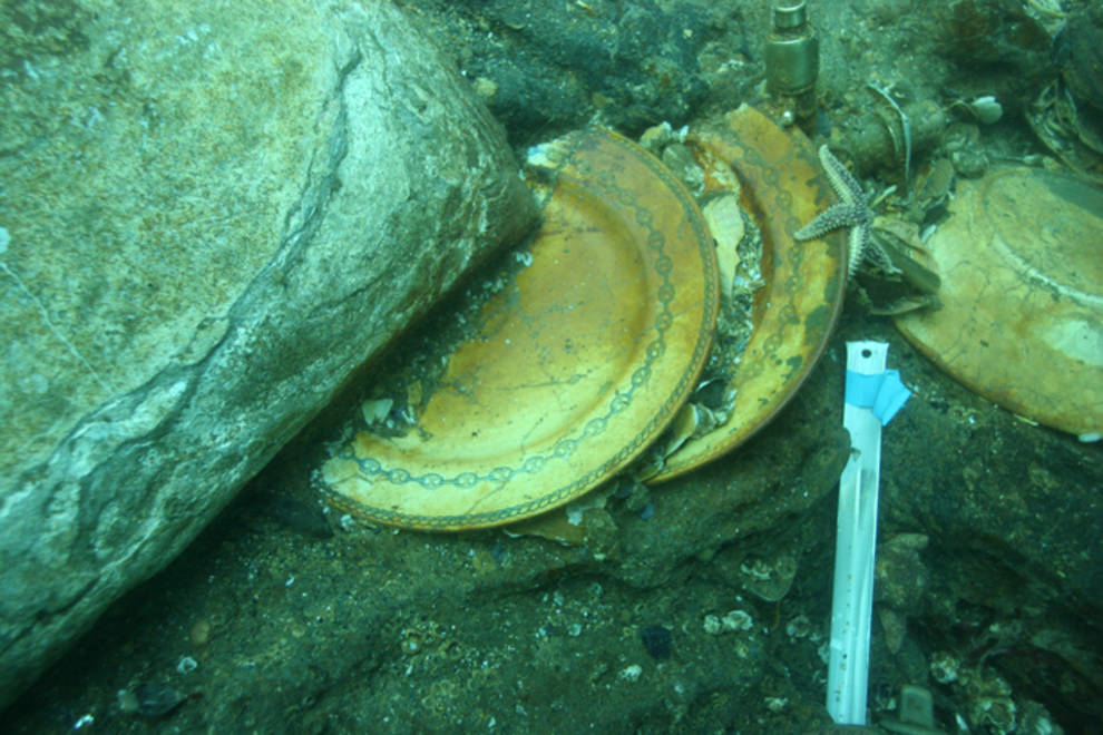
Photo © theuk.one
Photo © theuk.one